Tuesday 08 / September / 2026
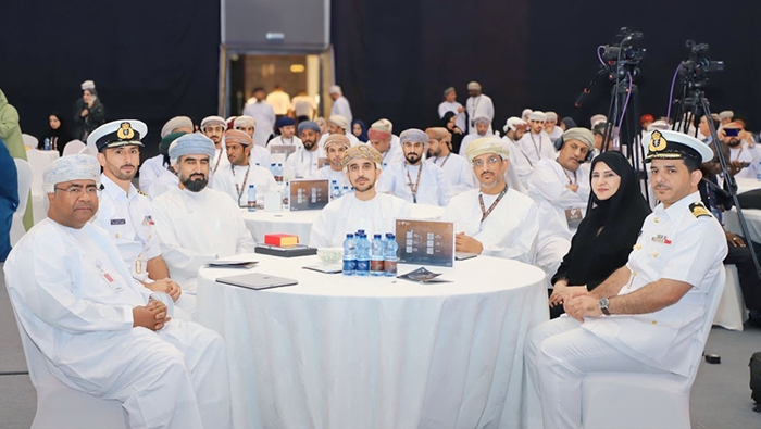
Salalah: The 11th International Conference on Recent Advances in Geographic Information, organised by the Ministry of Education in the city of Salalah in collaboration with University of Technology Malaysia (UTM) and Dhofar University, recommended developing the second phase of the Sultanate of Oman's Digital Educational Atlas, promoting innovation in modern geographic technologies, and integrating efforts among entities concerned with geographic data, academic institutions, and the private sector.
The conference also recommended stimulating scientific research and innovation in the fields of modern geographic technologies, developing specialised competencies and skills through advanced training programmes, and benefiting from the conference's outcomes and ideas to develop geographic information applications and employ them in the educational field and across various sectors.
Furthermore, the conference called for studying the establishment of a specialised Omani association for employing geographic technologies for educational purposes, contributing to enhancing the exchange of expertise and knowledge, supporting initiatives and projects related to spatial technologies, and expanding the scope of utilising them in developing the educational process.
In a speech delivered at the event, Dr. Badr Hamood Al Kharousi, Undersecretary of the Ministry of Education for Education, affirmed that geography is no longer merely a taught map, but has evolved beyond that into applications, models, and modern technologies where multiple sciences and fields of knowledge intersect. He pointed out the importance of employing these fields in honing students' skills, developing their capabilities, and making use of geographic data and technologies to foresee the future while rendering information more accessible and efficient for various sectors.
Over two days at Dhofar University, the conference featured specialised scientific sessions, research papers, and scientific posters with the participation of researchers and specialists from within and outside the Sultanate of Oman. Participants discussed the latest applications and technologies in the field of geographic information and reviewed experiences and research contributing to broadening horizons for employing spatial data in education, planning, and decision-making.
The closing ceremony of the conference included honoring speakers and researchers participating in the conference sessions, as well as honoring institutions participating in the accompanying exhibition for the experiences, solutions, and technologies they presented, which reflected the diversity of geographic information fields and their modern applications.